E015 - BalticGIT Conference 2022: Organizers' Interview With the EstGIS Board
Posted on Wednesday, Dec 1, 2021
Show Notes
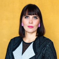
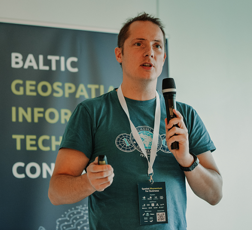
Today we have the honour of co-hosting a series of short interviews about the upcoming BalticGIT conference in Tallinn. I am here with Kreet Solnask and Tanel Jairus from the Board of the Estonian Geoinformatics Society who are organizing the Baltic Geospatial Information Technology Conference (aka BalticGIT). The conference is a unique regional industry event among Estonia, Latvia, and Lithuania in order to foster cross-border collaboration in the field of geospatial information technology (GIT). Today we have the first of a series of short interviews about the BalticGIT conference.
Guests


Hosts

Alex Kmoch
Alex is a Distributed Spatial Systems Researcher with many years of international experience in geospatial data management and web- and cloud-based geoprocessing with a particular focus on land use, soils, hydrology, and water quality. His interests include OGC standards and web-services for location-based data sharing, modelling workflows, machine learning, and interactive geo-visualisation. Alex has been involved with SDIs and the OGC for a long time and was recently elected board member of the Estonian Geoinformatics Society (EstGIS) and European Co-Chair for the OGC University Domain Working Group. He is based at the Chair of Geoinformatics and Cartography at Department of Geography of the University of Tartu.