E012 - Geospatial Professionals in Tartu Mobility Intelligence With Erki Saluveer
Posted on Tuesday, Jan 26, 2021
Show Notes
For today’s episode we talk with Erki Saluveer, CEO of the location and mobility data analytics company Positium from Tartu, Estonia, which is the leading company in the world specialising in mobile positioning data for official statistics.
Enjoy the interview.
Research reading list:
Like usually, we also want to share some recent interesting articles on GIS, Geography or related fields with every episode so that you and we have the idea on what kind of research is going on:
-
IJGI - ISPRS International Journal of Geo-Information, MDPI | Spatially Characterizing Major Airline Alliances: A Network Analysis https://doi.org/10.3390/ijgi10010037 (open access)
-
CaGIS - Cartography and Geographic Information Science, Taylor & Francis | Evaluating the effectiveness of different cartographic design variants for influencing route choice https://www.tandfonline.com/doi/full/10.1080/15230406.2020.1855251?af=R (subscription access)
-
IJGIS - International Journal of Geographical Information Science, Taylor & Francis | A methodological framework for analysis of participatory mapping data in research, planning, and management https://www.tandfonline.com/doi/full/10.1080/13658816.2020.1869747?af=R (subscription access)
-
IJGI - ISPRS International Journal of Geo-Information, MDPI | A Tourist Attraction Recommendation Model Fusing Spatial, Temporal, and Visual Embeddings for Flickr-Geotagged Photos https://doi.org/10.3390/ijgi10010020 (open access)
-
Computers & Geosciences, Elsevier | PDAL: An open source library for the processing and analysis of point clouds https://doi.org/10.1016/j.cageo.2020.104680 (subscription access)
Dear listeners, this concludes our episode today. Like everywhere, please like, share and subscribe. We would also be happy if you have some feedback for us. See you in the next episode.
Guests

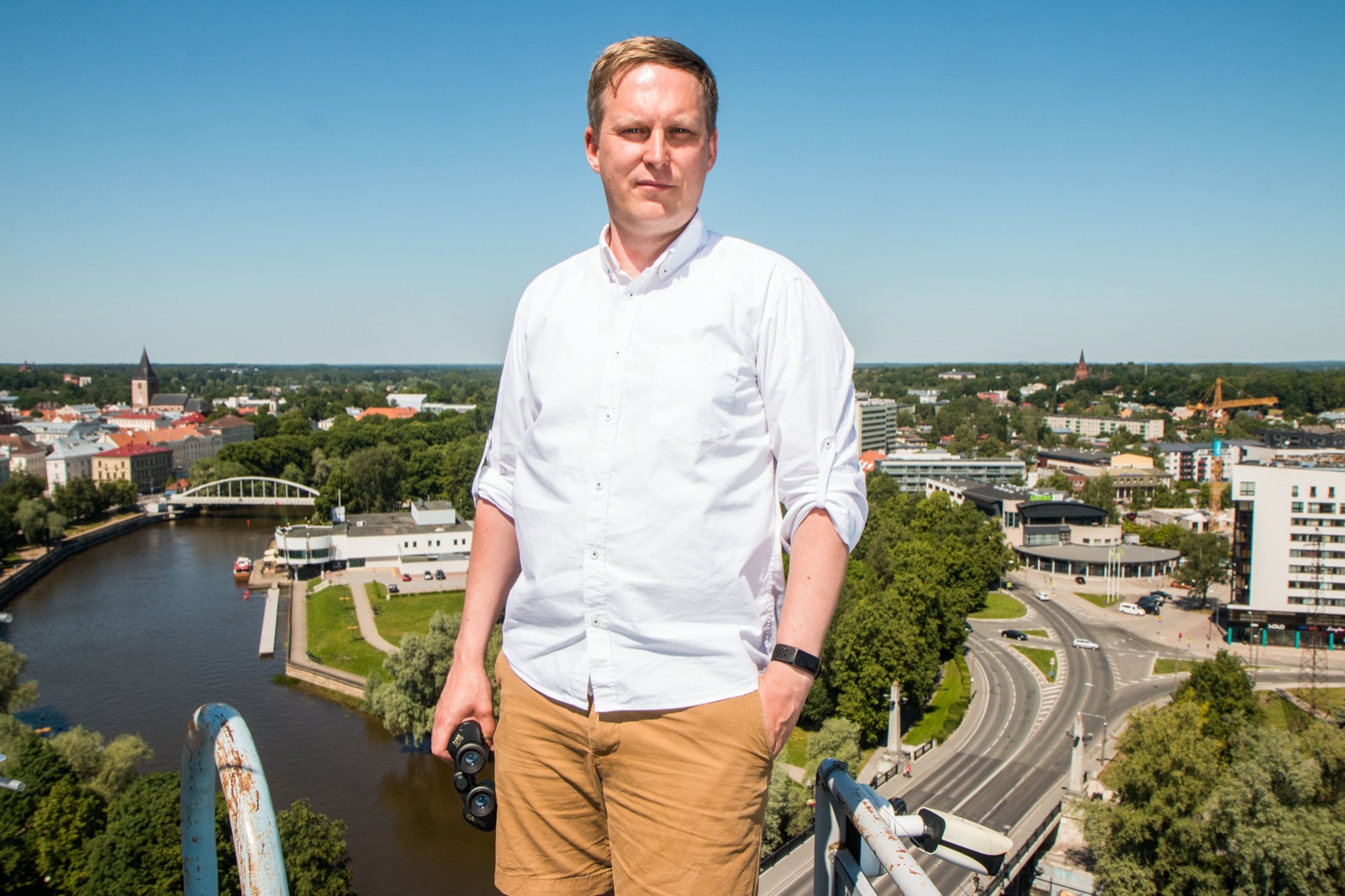
Erki Saluveer
Erki is the CEO of the location and mobility data analytics company Positium from Tartu, Estonia, which is the leading company in the world specialising in mobile positioning data for official statistics. Erki graduated the Geography curriculum in Tartu and is currently also finalizing his PhD studies.
Hosts

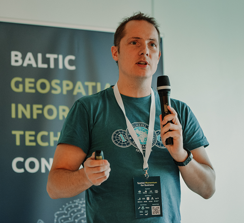
Alex Kmoch
Alex is a Distributed Spatial Systems Researcher with many years of international experience in geospatial data management and web- and cloud-based geoprocessing with a particular focus on land use, soils, hydrology, and water quality. His interests include OGC standards and web-services for location-based data sharing, modelling workflows, machine learning, and interactive geo-visualisation. Alex has been involved with SDIs and the OGC for a long time and was recently elected board member of the Estonian Geoinformatics Society (EstGIS) and European Co-Chair for the OGC University Domain Working Group. He is based at the Chair of Geoinformatics and Cartography at Department of Geography of the University of Tartu.

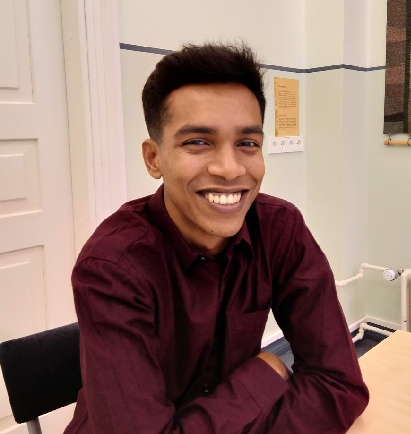
Tahmin Sitab
Tahmin Sitab is a masters student at the Geoinformatics for Urbanised society programme at University of Tartu. He did his bachelors in anthropology from Bangladesh. He is interested in the intersection of sociology and geography and almost every other topic. He firmly believes that you can love both a cat and a dog.