E011 - Geospatial Professionals in Tartu - Remote Sensing With Kaupo and Tanel From KappaZeta
Posted on Wednesday, Jan 6, 2021
Show Notes
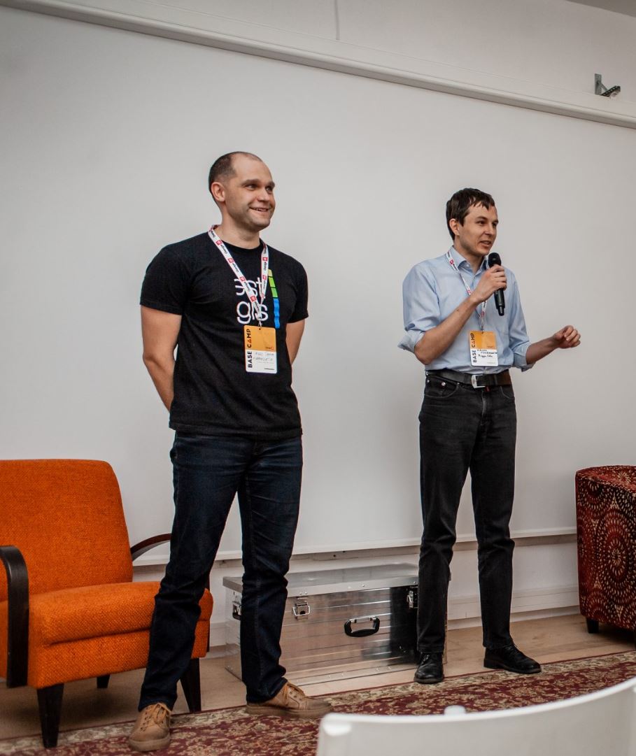
For today’s episode we talk with Kaupo Voormansik and Tanel Tamm from the radar remote sensing company KappaZeta here in Tartu.
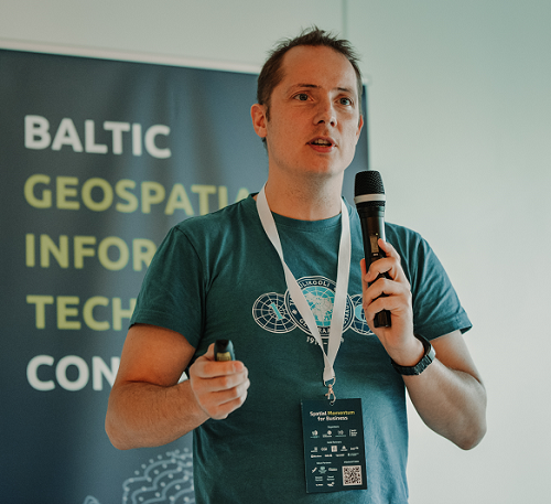
Kaupo is the co-founder and CEO of KappaZeta, a science-driven radar remote sensing company based in Tartu with focus on agriculture. Kaupo is a radar remote sensing expert and his goal is to make space data valuable for everyone. Kaupo graduated the Physics curriculum in Tartu and holds a PhD specialising on radar remote sensing.
Tanel is a co-founder, GIS expert and board member of KappaZeta, a science-driven radar remote sensing company based in Tartu with focus on agriculture. Tanel graduated the Geography curriculum in Tartu and holds a PhD specialising on remote sensing and geoinformatics.
Enjoy the interview.
Research reading list:
Like usually, we also want to share some recent interesting articles on GIS, Geography or related fields with every episode so that you and we have the idea on what kind of research is going on:
-
Journal of Hydrology, Elsevier | Evaluating the Effects of Timber Harvest on Hydrologically Sensitive Areas and Hydrologic Response https://www.sciencedirect.com/science/article/pii/S002216942031266X?dgcid=rss_sd_all (subscription access)
-
Transactions in GIS, Wiley | Pattern‐based calibration of cellular automata by genetic algorithm and Shannon relative entropy https://onlinelibrary.wiley.com/doi/abs/10.1111/tgis.12646?af=R (subscription access)
-
IJGI - ISPRS International Journal of Geo-Information, MDPI | Geographic Information System Technology Combined with Back Propagation Neural Network in Groundwater Quality Monitoring https://www.mdpi.com/2220-9964/9/12/736 (open access)
-
JAG - International Journal of Applied Earth Observation and Geoinformation, Elsevier | Temporal mosaicking approaches of Sentinel-2 images for extending topsoil organic carbon content mapping in croplands https://www.sciencedirect.com/science/article/pii/S030324342030920X?dgcid=rss_sd_all (open access)
-
Computers & Geosciences, Elsevier | PDAL: An open source library for the processing and analysis of point clouds https://www.sciencedirect.com/science/article/pii/S0098300420306518?dgcid=rss_sd_all (subscription access)
Dear listeners, this concludes our episode today. Like everywhere, please like, share and subscribe. We would also be happy if you have some feedback for us. See you in the next episode.
Guests
Kaupo Voormansik and Tanel Tamm, KappaZeta
KappaZeta is Estonian Earth Observation company founded by four people (Kaupo Voormansik, Tanel Tamm, Kalev Koppel & Karlis Zalite) as Tartu Observatory spin-off in 2015. We concentrate on radar remote sensing technology and agricultural applications. Today we are a team of 10 people with 5 PhDs with offices in Tartu and Kuressaare. We believe in open approaches and would like to make EO data easily available and useful for everyone.
Hosts
Alex Kmoch
Alex is a Distributed Spatial Systems Researcher with many years of international experience in geospatial data management and web- and cloud-based geoprocessing with a particular focus on land use, soils, hydrology, and water quality. His interests include OGC standards and web-services for location-based data sharing, modelling workflows, machine learning, and interactive geo-visualisation. Alex has been involved with SDIs and the OGC for a long time and was recently elected board member of the Estonian Geoinformatics Society (EstGIS) and European Co-Chair for the OGC University Domain Working Group. He is based at the Chair of Geoinformatics and Cartography at Department of Geography of the University of Tartu.
Tahmin Sitab
Tahmin Sitab is a masters student at the Geoinformatics for Urbanised society programme at University of Tartu. He did his bachelors in anthropology from Bangladesh. He is interested in the intersection of sociology and geography and almost every other topic. He firmly believes that you can love both a cat and a dog.