E010 - Geospatial Professionals in Tartu With Martin Jüssi
Posted on Friday, Dec 11, 2020
Show Notes
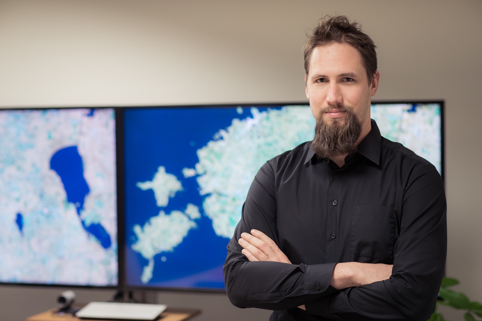
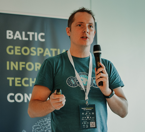
For today’s episode we talk with Martin Jüssi, Director Consulting Services - Space and Earth Observation from CGI here in Tartu. Martin graduated at the Department of Geography here in Tartu with an MSc in GIS & Cartography and an MSc degree from the International Space University and entered the software development pathway. He is active in the local and global geospatial and space sectors and a regular mentor at Space and Earth Observation hackathons.
"When I found out that there is a curriculum where you can learn digital mapping, I knew what I wanted to study." Martin Jüssi
Enjoy the interview.
-
International Space University https://www.isunet.edu/
Research reading list:
Like usually, we also want to share some recent interesting articles on GIS, Geography or related fields with every episode so that you and we have the idea on what kind of research is going on:
-
IJGI - ISPRS International Journal of Geo-Information, MDPI | Geo-Informatics in Resource Management https://www.mdpi.com/2220-9964/9/11/628 (open access)
-
Transactions in GIS, Wiley | Highlighting recent trends in open source geospatial science and software https://onlinelibrary.wiley.com/doi/abs/10.1111/tgis.12703?af=R (subscription access)
-
IJGIS - International Journal of Geographical Information Science, Taylor & Francis | Understanding the multifaceted geospatial software ecosystem: a survey approach https://www.tandfonline.com/doi/full/10.1080/13658816.2020.1831514?af=R (subscription access)
-
JAG - International Journal of Applied Earth Observation and Geoinformation, Elsevier | The content and accuracy of the CORINE Land Cover dataset for Norway https://www.sciencedirect.com/science/article/pii/S0303243420309090?dgcid=rss_sd_all (open access)
-
Remote Sensing, MDPI | Vertical Accuracy of Freely Available Global Digital Elevation Models (ASTER, AW3D30, MERIT, TanDEM-X, SRTM, and NASADEM) https://doi.org/10.3390/rs12213482 (open access)
Dear listeners, this concludes our episode today. Like everywhere, please like, share and subscribe. We would also be happy if you have some feedback for us. See you in the next episode.
Guests

Martin Jüssi
Martin Jüssi, Director Consulting Services - Space and Earth Observation at CGI in Tartu. Martin graduated at the Department of Geography here in Tartu with an MSc in GIS & Cartography and an MSc degree from the International Space University and entered the software development pathway. He is active in the local and global geospatial and space sector ecosystem and a regular mentor in hackathons.
Hosts

Alex Kmoch
Alex is a Distributed Spatial Systems Researcher with many years of international experience in geospatial data management and web- and cloud-based geoprocessing with a particular focus on land use, soils, hydrology, and water quality. His interests include OGC standards and web-services for location-based data sharing, modelling workflows, machine learning, and interactive geo-visualisation. Alex has been involved with SDIs and the OGC for a long time and was recently elected board member of the Estonian Geoinformatics Society (EstGIS) and European Co-Chair for the OGC University Domain Working Group. He is based at the Chair of Geoinformatics and Cartography at Department of Geography of the University of Tartu.