E007 - Gis Applications During Covid-19
Posted on Saturday, May 2, 2020
Show Notes
In today’s episode we want to talk about GIS tools that have helped in covid-19 data analysis in many ways. This current situation has forced us to think about space in many ways. We are mostly at our homes and thus we needed to redefine our home spaces from workspace to entertainment space. It has also forced us to think about the globalised world that we know today and how interconnected our spaces are. From the spread of the virus to the proximity everything has fallen under the geography and GIS domain. Everyone is looking at the maps to understand the spatial spread of the virus. I would even go to say that GIS products have become one of the most used items in the globe right now in terms of understanding the covid 19.
Notes of the topics we are talking about:
- Crisis mapping (One of the first examples of this is the response to the 2010 Haiti Earthquake. There was limited reliable geospatial data, such as roads and facilities, in Haiti that could be used to tell those on the ground where to go. In the days following the earthquake, many individuals contributed to OpenStreetMap, an open project similar to Wikipedia where users can add geospatial data to the map
- COVID-19 Data Repository from Johns Hopkins University Center for Systems Science and Engineering (JHU CSSE)
- Estonian corona map, problematic strategy of data sharing (https://www.terviseamet.ee/et/koroonaviirus/avaandmed)
- Unacast, a human mobility data and insights company, has built a social distancing scorecard that uses mobility data to analyze the changes in mobility patterns down to the county level (https://www.unacast.com/covid19/social-distancing-scoreboard)
- Social vulnerability- Social vulnerability refers to the resilience of communities when confronted by external stresses on human health, stresses such as natural or human-caused disasters, or disease outbreaks
- Via their Data for Good program, Facebook is working with different researchers and networks to provide a wide range of anonymized data such as high-density population maps, social connectivity, co-location maps, mobility data, and more
- The importance of open street map or data
- Covid -19 mobility network
- CARTO is a spatial platform that provides a wide range of tools to store, analyze, and visualize spatial data and they are making their platform available to public and private organizations
- ESRI is a geospatial software and platform provider that has a wide range of tools and products for geospatial analysis to many different private and public organizations around the world. From their COVID-19 resource page
- GTD Geo Tweets Downloader: https://github.com/nagellette/geo-tweet-downloader
Research reading list:
Like usually, we also want to share around 5 or more recent interesting articles on GIS with every episode so that you and we have the idea on what kind of research is going on in the field of GIS:
-
IJGIS - International Journal of Geographical Information, Science: Taylor & Francis | NEAT approach for testing and validation of geospatial network agent-based model processes: case study of influenza spread https://www.tandfonline.com/doi/full/10.1080/13658816.2020.1741000?af=R (open access)
-
IJGI - ISPRS International Journal of Geo-Information, MDPI | Citizens’ Spatial Footprint on Twitter - Anomaly, Trend and Bias Investigation in Istanbul https://www.mdpi.com/2220-9964/9/4/222 (open access)
-
IJGI - ISPRS International Journal of Geo-Information, MDPI | A Citizen-Centric Approach for the Improvement of Territorial Services Management https://www.mdpi.com/2220-9964/9/4/223 (open access)
-
Nature Communication, nature.com | A simple contagion process describes spreading of traffic jams in urban networks https://www.nature.com/articles/s41467-020-15353-2 (open access)
-
IJGI - ISPRS International Journal of Geo-Information, MDPI | Identifying Urban Residents’ Activity Space at Multiple Geographic Scales using Mobile Phone Data https://www.mdpi.com/2220-9964/9/4/241 (open access)
Dear listeners, this concludes our episode today. Like everywhere, please like, share and subscribe. We would also be happy if you have some feedback for us. See you in the next episode.
Hosts

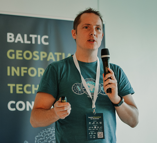
Alex Kmoch
Alex is a Distributed Spatial Systems Researcher with many years of international experience in geospatial data management and web- and cloud-based geoprocessing with a particular focus on land use, soils, hydrology, and water quality. His interests include OGC standards and web-services for location-based data sharing, modelling workflows, machine learning, and interactive geo-visualisation. Alex has been involved with SDIs and the OGC for a long time and was recently elected board member of the Estonian Geoinformatics Society (EstGIS) and European Co-Chair for the OGC University Domain Working Group. He is based at the Chair of Geoinformatics and Cartography at Department of Geography of the University of Tartu.

Tahmin Sitab
Tahmin Sitab is a masters student at the Geoinformatics for Urbanised society programme at University of Tartu. He did his bachelors in anthropology from Bangladesh. He is interested in the intersection of sociology and geography and almost every other topic. He firmly believes that you can love both a cat and a dog.