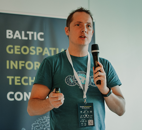
E013 - On-Demand Mapping Technologies in Tartu With Gaspar Anton
Posted on Tuesday, Mar 23, 2021
Show Notes
For today’s episode we talk with Gaspar Anton, who is the founder & CEO at EyeVi Technologies. EyeVi provides on-demand mapping technologies for transportation infrastructure consulting, management and services companies. EyeVi’s mission is to make 3D mapping more accessible and infrastructure management more sustainable.
Enjoy the interview.
Research reading list:
Like usually, we also want to share some recent interesting articles on GIS, Geography or related fields with every episode so that you and we have the idea on what kind of research is going on:
-
Earth Science Informatics, Springer | Voxel modeling of geotechnical characteristics in an urban area by natural neighbor interpolation using a large number of borehole logs http://link.springer.com/10.1007/s12145-021-00600-x (open access)
-
IJDE - International Journal of Digital Earth, Taylor & Francis | Implementation of serverless cloud GIS platform for land valuation https://www.tandfonline.com/doi/full/10.1080/17538947.2021.1889056?af=R (subscription access)
-
IJGI - ISPRS International Journal of Geo-Information, MDPI | A Unified Methodology for the Generalisation of the Geometry of Features https://www.mdpi.com/2220-9964/10/3/107 (open access)
-
IJGI - ISPRS International Journal of Geo-Information, MDPI | Machine Learning-Based Processing Proof-of-Concept Pipeline for Semi-Automatic Sentinel-2 Imagery Download, Cloudiness Filtering, Classifications and Updates of Open Land Use/Land Cover Datasets https://www.mdpi.com/2220-9964/10/2/102 (open access)
-
Transactions in GIS, Wiley | Area and volume computation of longitude–latitude grids and three‐dimensional meshes https://onlinelibrary.wiley.com/doi/abs/10.1111/tgis.12636?af=R (subscription access)
Dear listeners, this concludes our episode today. Like everywhere, please like, share and subscribe. We would also be happy if you have some feedback for us. See you in the next episode.
Guests

Gaspar Anton
Gaspar is the founder & CEO at EyeVi Technologies. EyeVi provides on-demand mapping technologies for transportation infrastructure consulting, management and services companies. EyeVi’s mission is to make 3D mapping more accessible and infrastructure management more sustainable.
Hosts

Alex Kmoch
Alex is a Distributed Spatial Systems Researcher with many years of international experience in geospatial data management and web- and cloud-based geoprocessing with a particular focus on land use, soils, hydrology, and water quality. His interests include OGC standards and web-services for location-based data sharing, modelling workflows, machine learning, and interactive geo-visualisation. Alex has been involved with SDIs and the OGC for a long time and was recently elected board member of the Estonian Geoinformatics Society (EstGIS) and European Co-Chair for the OGC University Domain Working Group. He is based at the Chair of Geoinformatics and Cartography at Department of Geography of the University of Tartu.