E001 - Open Source vs Commercial GIS
Posted on Thursday, Nov 21, 2019
Show Notes
The debate of open source vs commercial softwares has been present since time immemorial!. In this episode, Alex and Tahmin discussed pros and cons of both open source and commercial softwares. The spark of conversation on this topic started from a class discussion from the Geoinformatics for urbanised society at University of Tartu. Some of the pros on the open source side came as free of cost, free help from the community, fast bug detection and fixes, better security and flexibility. On the con side of open source some of the topic came as lack of knowledge on the user side, no serious accountability, lack of continuation, On the other hand, some pros discussed in favour of enterprise softwares were less knowledge required on the user end to assemble or work with the software, having a accountable body to fix bugs and customer support. The cons discussed on this side were strict licencing, high cost of buying, little flexibility, if the software is discontinued users being unable to continue their project. Which one do you think is better? Which one has the better future possibilities? Is a mix of these two is the plausible future? Please let us know what you think. Comment, like and subscribe.
Our host Alex has done research (An eco-hydrological modelling parameters dataset derived from the Soil Map of Estonia) using open source data and software. Here you can find the details of the research: https://landscape-geoinformatics.ut.ee/estsoil-eh-dataset
We also want to share research articles on GIS with every episode so that you and we have the idea on what kind of research is going on in the field of GIS. The idea stems from a blog post of Alex, which we will take as first reading inspiration: https://allixender.blogspot.com/2019/09/a-review-of-selected-latest-journal.html
Outlook: Listen to our interview with Topi Tjukanov in the next episode.
Hosts

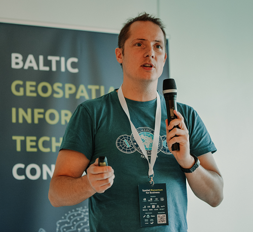
Alex Kmoch
Alex is a Distributed Spatial Systems Researcher with many years of international experience in geospatial data management and web- and cloud-based geoprocessing with a particular focus on land use, soils, hydrology, and water quality. His interests include OGC standards and web-services for location-based data sharing, modelling workflows, machine learning, and interactive geo-visualisation. Alex has been involved with SDIs and the OGC for a long time and was recently elected board member of the Estonian Geoinformatics Society (EstGIS) and European Co-Chair for the OGC University Domain Working Group. He is based at the Chair of Geoinformatics and Cartography at Department of Geography of the University of Tartu.

Tahmin Sitab
Tahmin Sitab is a masters student at the Geoinformatics for Urbanised society programme at University of Tartu. He did his bachelors in anthropology from Bangladesh. He is interested in the intersection of sociology and geography and almost every other topic. He firmly believes that you can love both a cat and a dog.